Design and implementation of PERSGA KIMS
As initial step for implementation of KIMS, and assessment was conducted by the PCU and the hired IT consultant firm, in order to identify designing scope features and needs considering nature of information and data to be handled by the system. A series of online consultation meetings followed to clarify details of datasets sorting, methods of their collection, reporting outputs required, etc. for scheming entry tables and relational database components. These included for examples, themes and templates of Standard Survey Methods developed by PERSGA through previous projects (e.g.) SAP and SEM and the current SFISH for assessment and monitoring of key habitats, key species, fisheries data, etc. and collection formats for the scope of the integrated regional information system.
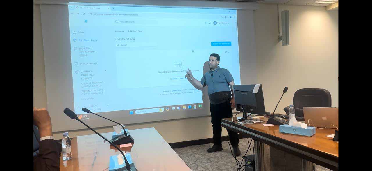
The primary design of the database was developed by the IT consultant by mid-April 2024, where by a mission conducted during first week of May 2024 to meet PERSGA team, present the constructed database design, collect remarks and discuss issues to be considered in order to proceed with refining the design for the different modules, user interface design, and making adjustments as needed. The mission also provided orientation for PERSGA staff and training on data entry, management and other uses of the system. The main modules will enable web-based data collection and management covering the following monitoring data and information
- Fisheries data, such as frame, landing site, fisher tracker, catches, gears, fish length frequencies, etc. surveys
- IUU themes (Shore Facilities, Vessels, Stakeholders, legal etc.) assessment surveys
- MPA Management Effectiveness assessment data (Scorecards)
- Ground truthing Surveys
- Mangrove Surveys
- Water Quality data
- Seagrass Watch
- Coral Reef Checks
- Turtle nesting and foraging area surveys
- Seabirds- Arial, vegetation point, flush count and walk-through belt surveys
- Marine Mammals interview and boat-base surveys